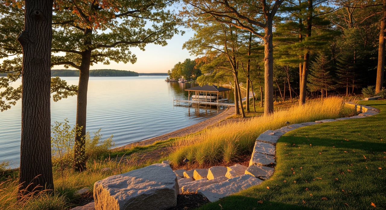
You found a lakefront lot that looks perfect, but you are not sure what you can actually build or how much it will really cost. You are not alone. In Washington County, small details like shoreline type, slope, and soil can change your plan and your budget. This guide walks you through a clear, step-by-step way to evaluate a lake lot so you can move forward with confidence. Let’s dive in.
Start with the shoreline
Your shoreline sets the tone for how you will use the property and what you can build. Pay close attention to frontage type, wetlands, and any existing structures.
Identify frontage type
Look at how the shore meets the water. Is it a natural vegetated edge, sandy, rocky, riprap, or a seawall? Each type affects swimming and docking, and it can change your permitting path. Natural banks and wetland fringes often have more rules for protection, while armored shorelines can require upgrades to current standards.
Measure and confirm usable frontage
Frontage is more than a number on a listing. Verify total linear feet and how much is truly usable, not wetland or marsh. Ask for a recent survey that locates the ordinary high water mark, often called the OHWM. This line helps define ownership limits and setbacks. If water levels swing seasonally, try to view the lot during lower water or review historical levels to judge depth at the end of a potential dock.
Check wetlands and existing structures
Wetlands along the shore can limit where you place a dock and may restrict grading or filling. Ask for any wetland delineation reports, and look for past permits for piers, seawalls, or boathouses. Confirm whether older structures can remain or need updates to meet current rules.
Slope and your buildable footprint
The most common surprise on lake lots is how small the buildable area becomes after you account for setbacks, buffers, wetlands, and steep slopes.
Get a topographic survey early
Order a topo survey that shows contours and the OHWM. Then have a builder or architect sketch a draft site plan. This reveals where a house, garage, and septic can actually go. County shoreland zoning and local ordinances set setbacks, vegetation buffers, and limits on impervious surface. These rules vary by municipality, and local rules can be stricter than state minimums.
Plan for driveways and erosion control
Steep slopes add cost for excavation, retaining walls, and erosion control. Think through how construction equipment will reach the site, where materials will be staged, and how runoff will be managed. Some lots require special foundations or engineered retaining solutions.
Soils, septic, and well feasibility
Septic feasibility can make or break your build. Do not skip this step.
Confirm public utilities versus private systems
On many Washington County lakes, you will use a private septic system and a private well. If municipal sewer or water is available, that is the exception, not the rule. Setbacks for septic and wells also apply, including distance from the OHWM and property lines.
Use soil data, then test on site
Start with the USDA NRCS Web Soil Survey to see mapped soil types and general limitations. Then hire a qualified soil evaluator or septic designer to conduct on-site testing. Some lots support a conventional system. Others need a mound or advanced treatment, which increases cost and can shift your building location. If bedrock is shallow or groundwater is high, you may need a geotechnical review.
Utilities and road access
Utility availability and road type influence both your build and your ongoing costs.
Power, gas, and internet
Confirm which providers serve the specific township and what it will cost to extend service to your planned house site. Trenching, transformers, and fiber drops can add up, especially if the build site is set back from the road.
Road and driveway details
Is access on a public or private road, or is it seasonal? For private roads, review maintenance agreements and any assessments. Ask the municipality about driveway permits and standards. Tight access, wetlands, or steep driveways can complicate construction logistics.
Permits and rules you must know
Lake property is governed by a mix of state, county, and municipal rules. Plan for multiple approvals.
State and DNR
Wisconsin DNR shoreland zoning under NR 115 sets baseline standards, and the DNR regulates structures in navigable waters. Work on piers, boathouses, and shoreline stabilization may need permits. If your plan touches wetlands or navigable waters, expect additional review time.
County and municipal
Washington County shoreland zoning layers on setbacks, buffer rules, and impervious surface limits, and towns, villages, and cities may add stricter standards. Building permits, septic permits, and erosion control permits each follow their own timelines and fees. Start conversations with county zoning and your local building department early.
Associations and recorded restrictions
Some lakes have associations, HOAs, or recorded covenants that control dock size, mooring, or boathouses. Ask for all governing documents and any past approvals or denials tied to the parcel.
Environmental and lake conditions
Your long-term experience depends on water levels, erosion risk, and lake health.
Check floodplain status
Use the FEMA Flood Map Service Center to see whether any part of the lot lies in a flood zone. Floodplain designation can affect what you can build and your insurance costs.
Review water quality and invasive species
DNR lake pages and county environmental reports can provide information on water clarity, depth, and invasive species management. Shallow or eutrophic lakes, or those with known invasive species issues, may have added rules for shoreline work and boating.
Legal and title items
A clean title and clear riparian rights protect your use and enjoyment of the lot.
Easements and riparian rights
Ask a real estate attorney to review the deed, plat, and title commitment. Look for utility and access easements, shared road agreements, and any restrictions on docks or mooring. Confirm how the waterfront boundary is defined, typically to the OHWM.
A step-by-step evaluation checklist
Use this simple framework to move from first look to confident offer.
Initial desktop screening
- Pull the county parcel record, tax map, and GIS layers for shoreland zoning, wetlands, floodplain, and contours.
- Visit the DNR lake page for basic facts and to note any known issues or management plans.
- Check flood status on the FEMA Flood Map Service Center.
- Review the USDA NRCS Web Soil Survey for soil types and limitations.
Smart offer contingencies
- Topographic survey that locates the OHWM and all setback lines.
- Septic feasibility, including a professional soil evaluation by a county sanitarian or licensed designer.
- Wetland delineation, if mapping or site conditions suggest wet areas.
- Utility and access verification, including written confirmations or quotes from providers.
Pre-closing field work and reviews
- Topographic survey with OHWM monumented and a draft site plan from your builder or architect.
- Soil and perc testing for septic design, plus deep holes if needed.
- Wetland delineation by a qualified wetland scientist when indicators are present.
- Geotechnical or structural review if slopes are steep or bedrock is shallow.
- Consult with county zoning, the local building department, and the DNR on permit paths and timelines.
Timeline planning
- Septic design and permitting can take several weeks or more, depending on testing and design needs.
- Building and erosion control permits follow local review cycles.
- DNR and any wetland related permits may require additional time. Build that into your schedule.
Cost flags to price in early
Budgeting early helps you compare lots apples to apples.
- Utility extensions and transformer fees for power, plus trenching for internet or gas.
- Upgraded septic systems when soils require mound or advanced treatment.
- Shoreline stabilization if erosion is active, which may require DNR permits.
- Site grading, driveway construction, and retaining walls on steep lots.
- Legal review for easements and covenants, and potential HOA or lake association fees.
- Higher insurance or mitigation work if part of the site is in a floodplain.
Negotiation angles that protect you
Ask the seller for all past permits, surveys, and any known issues. Use them to verify feasibility and negotiate repairs or credits.
Request that the seller provide or share costs for a current survey or soil evaluation.
Build contingency funds into the offer to handle permit conditions or required mitigation without derailing the deal.
Putting it all together
The best lake lots in Washington County balance a usable shoreline, a solid buildable footprint, good soils for septic, and a clear permitting path. When you follow the steps above, you can spot red flags early, craft a stronger offer, and set a realistic budget and timeline. If you want a second set of eyes on a specific lot or help coordinating surveys, soil tests, and permit conversations, reach out. Kimberly Stark of Kimberly and Co. Real Estate can help you evaluate your options and move forward with clarity.
FAQs
What should I check first when evaluating a Washington County lake lot?
- Start with a topo survey and the OHWM, then confirm wetlands, setbacks, and septic feasibility so you know your true building envelope.
How do I know if my lake lot is in a flood zone?
- Enter the property address in the FEMA Flood Map Service Center to view official floodplain maps and determine any insurance or building impacts.
Do Washington County lake lots usually have public sewer and water?
- Many lake properties rely on private wells and septic systems, so confirm availability early and make septic feasibility a purchase contingency.
Can I add a dock or boathouse on my shoreline?
- Docks and boathouses are regulated by the DNR and local rules, and may require permits, so verify allowed structures before you plan or purchase.
How do soils affect my septic and foundation plans?
- Soil type, groundwater, and bedrock depth determine whether you can use a conventional septic or need an advanced system and whether special foundation work is needed.
Who should be on my due diligence team for a lake lot purchase?
- Work with a local agent, surveyor, septic designer or sanitarian, wetland scientist if needed, a real estate attorney, and county or municipal permitting staff for parcel-specific guidance.